LiDAR
Specialist Services
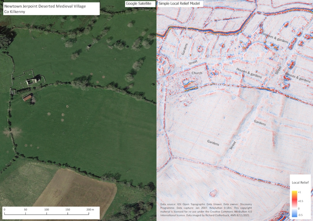
LiDAR (Light Detection and Ranging) is a remote sensing technique used to generate high-resolution 3D models of the ground surface which can help archaeologists identify and record various aspects of the historic environment.
The processed data can be manipulated by a range of techniques and software that can aid in the discovery of low-profile archaeological features, including those hidden beneath woodland canopy.
Some of the main visualisation techniques for LiDAR data include:
- Analytical hill-shading: artificial illumination is used to highlight surface changes such as upstanding features (mounds, walls etc.) and sunken features (ditches etc.). Greater illumination can be achieved by calculating analytical hill-shading in multiple directions equally distributed between 0° and 360°.
- Principal Components Analysis: a mathematical model that ‘summarises’ the information of hill-shade models from different directions.
- Sky-view factor: measures the portion of the sky visible above a certain point. In this way, flat terrain, ridges and earthworks which receive more illumination are highlighted and appear in light, while depressions appear dark because they receive less illumination.
- Slope gradient: represents the maximum rate of change between each data cell and its neighbours and can be calculated either as degree of slope or as percentage of slope. This technique works especially well in combination with hill-shading and also works well on most types of terrain.
- Openness: is a proxy for diffuse illumination. Positive Openness is similar to sky-view factor but with a more ‘flattened feel’, while Negative Openness provides additional information on convex features.
AMS uses the GIS program QGIS to store, manipulate and view LiDAR data. QGIS can be used to compare LiDAR data with other datasets, including CAD plans of developments, historical maps and the Sites and Monuments Record. AMS also employs the software Relief Visualisation Toolbox (RVT) to generate visualisations of LiDAR data, which can then be brought into QGIS for analysis.


